Industries
Public Safety
Surveying
Private Consultants
We provide software and forensic mapping equipment for those in the private sector.
“The viDoc RTK is a very easy-to-use handheld device used to 3D model just about any small area or structure. Combined with processing in PIX4Dmatic with both LiDAR and photogrammetry data, it’s an exciting new and accurate product.” – Mark Paulson of VerticalAspect, a professional surveyor with 30 years experience and 10 years of experience working with drones and photogrammetry in surveying.
Pix4D viDoc RTK Rover
Pix4D, the market leader in photogrammetry solutions, has just made the viDoc RTK rover available for purchase in the USA and Canada. Already available in Europe, the German-designed rover attaches to the latest iOS devices to bring RTK accuracy to terrestrial scanning on iPhones and iPads.
When paired with the PIX4Dcatch mobile app, the two products create a workflow that turns iPhones or iPads into an accurate terrestrial scanning device, with centimeter-accurate RTK positioning from your existing NTRIP network. PIX4Dcatch also takes advantage of LiDAR scanners in the latest devices, which are also leveraged during data capture and processing to improve scale and completeness. The result is a survey-grade tool in the pockets of professionals, replacing heavy LiDAR scanners and rovers.
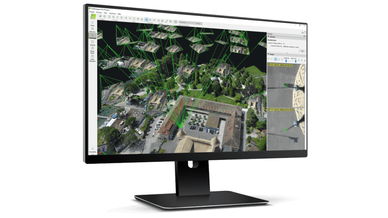
The viDoc RTK rover for PIX4Dcatch is designed to be seamlessly integrated with all of Pix4D’s photogrammetry solutions. The easy workflow means users can go from scanning a site in minutes with the viDoc rover and PIX4Dcatch to processing on the cloud with PIX4Dcloud for 3D-models and volume measurements. Alternatively, they could process the data from PIX4Dcatch in the desktop software PIX4Dmatic and use both LiDAR and photogrammetry data to get the desired outputs, which can be added to PIX4Dsurvey for vectorization and be made ready for CAD.
The ease of use, affordability, and quality of the outputs of the viDoc RTK rover have the ability to disrupt the AEC industry and bring new workflows to fields including public works, accident reconstruction, and stockpile management.
Contact us at 508-444-2188 or contact@forensicmappingsolutions.com to order your viDoc RTK rover today.
Questions about the viDoc RTK rover for Pix4Dcatch? Click the button below to visit the FAQ page.
UAS Packages
Contact us at 508-444-2188 or contact@forensicmappingsolutions.com to customize your UAS package today.
Software
Scanners
GNSS Equipment
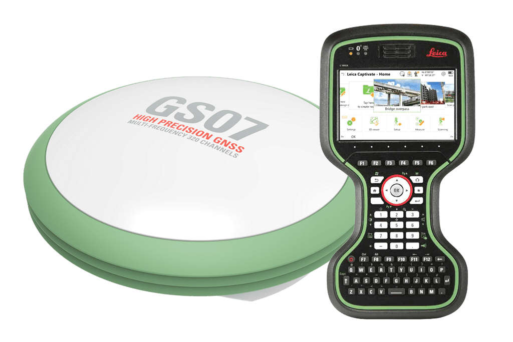
Check out our line of Leica Global navigation satellite systems (GNSS) with Bluetooth connectivity featuring Leica Captivate data collection software. Perfect for mapping scenes or for acquiring ground control points for Pix4D. Contact us for more information and pricing
Mapping Accessories
Contact us at 508-444-2188 or contact@forensicmappingsolutions.com for more information and pricing.
Custom GCP Targets w/Carry Bag
In an aerial mapping survey, GCPs are points which the surveyor can precisely pinpoint: with a handful of known coordinates, it’s possible to accurately map large areas. We sell our own high quality set of 10 custom 18 inch ground control point targets for aerial mapping and surveying with accompanying Rhinotek carry bag for $599.