Industries
Public Safety
Surveying
Private Consultants
We provide software and forensic mapping equipment for those in the private sector.
UAS Packages
Contact us at 508-444-2188 or contact@forensicmappingsolutions.com to customize your UAS package today.
Software
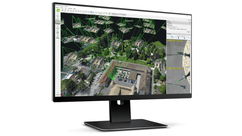
Forensic Mapping Solutions is a Pix4D premier reseller. We offer sales, training and support for Pix4Dmatic and Pix4Dcatch. We also offer scene diagraming software including Leica Map360 software. With this software you will document accident and crime scenes in a fraction of the time.
GNSS Equipment
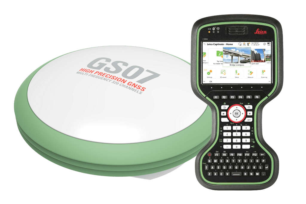
Check out our line of Leica Global navigation satellite systems (GNSS) with Bluetooth connectivity featuring Leica Captivate data collection software. Perfect for mapping scenes or for acquiring ground control points for Pix4D. Contact us for more information and pricing
Mapping Accessories
Contact us at 508-444-2188 or contact@forensicmappingsolutions.com for more information and pricing.

Custom GCP Targets w/Carry Bag
In an aerial mapping survey, GCPs are points which the surveyor can precisely pinpoint: with a handful of known coordinates, it’s possible to accurately map large areas. We sell our own high quality set of 10 custom 18 inch ground control point targets for aerial mapping and surveying with accompanying Rhinotek carry bag.
Partners

